
File:Zona colonial.jpg

Size of this preview: 800 × 600 pixels. Other resolutions: 320 × 240 pixels | 2,048 × 1,536 pixels.
Original file (2,048 × 1,536 pixels, file size: 775 KB, MIME type: image/jpeg)
Summary
| Description |
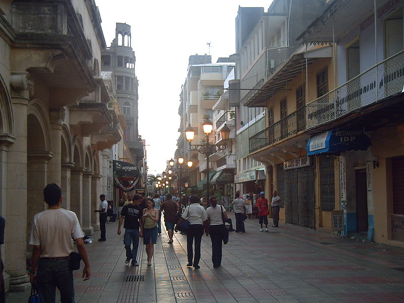
English: La zona colonial, calle el Conde, de Santo Domingo, en Republica Dominicana. Nederlands: Calle el Conde, Cudad Colonial |
| Date | |
| Source | Jefry Lagrange Reyes |
| Author | Jefry Lagrange Reyes, Email: [email protected] |
| Camera location | | View this and other nearby images on: OpenStreetMap |
|---|
Licensing

|
This work is free software; you can redistribute it and/or modify it under the terms of the GNU General Public License as published by the Free Software Foundation; either version 2 of the License, or any later version. This work is distributed in the hope that it will be useful, but without any warranty; without even the implied warranty of merchantability or fitness for a particular purpose. See version 2 and version 3 of the GNU General Public License for more details. |
File history
Click on a date/time to view the file as it appeared at that time.
| Date/Time | Thumbnail | Dimensions | User | Comment | |
|---|---|---|---|---|---|
| current | 03:29, 8 April 2006 | | 2,048 × 1,536 (775 KB) | Zimio | La zona colonial de Santo Domingo, en Republica Dominicana. |
File usage
The following 2 pages use this file: