
File:Unnamed Road, Lesotho - panoramio (67).jpg

Size of this preview: 800 × 598 pixels. Other resolutions: 320 × 239 pixels | 2,592 × 1,936 pixels.
Original file (2,592 × 1,936 pixels, file size: 1.93 MB, MIME type: image/jpeg)
Summary
| Description |
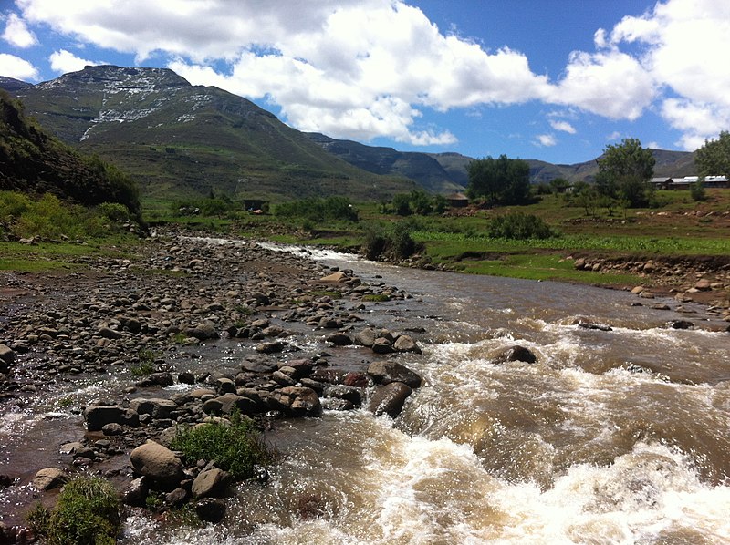
Afrikaans: Gesig op Ntjepelengrivier tussen Kaphe- en Ntjepeleng-nedersettings, in noordelike Mohaleshoek-distrik van Lesotho. Die rivier is 'n linkeroewersytak van die Makhalengrivier, wat op sy beurt 'n regteroewersytak van die Oranje vorm.
English: View on Nchipileng River between Kaphe and Ntjepeleng villages, along Unnamed Road, in northerly Mohale's Hoek District of Lesotho. The river is a left bank tributary of the Makhaleng River, which in turn is a right bank tributary of the Orange. |
||
| Date | Taken on 16 December 2012 | ||
| Source | https://web.archive.org/web/20161025061930/http://www.panoramio.com/photo/84458657 | ||
| Author | Graham Maclachlan | ||
| Permission (Reusing this file) |
This file is licensed under the Creative Commons Attribution-Share Alike 3.0 Unported license. Attribution: Graham Maclachlan
|
||
| Tags (from Panoramio photo page) | Mohale's Hoek, Lesotho |
| Camera location | | View this and other nearby images on: OpenStreetMap |
|---|
.jpg¶ms=-29.969833_N_0027.628333_E_globe:Earth_type:camera_source:Panoramio_&language=en)
File history
Click on a date/time to view the file as it appeared at that time.
| Date/Time | Thumbnail | Dimensions | User | Comment | |
|---|---|---|---|---|---|
| current | 10:19, 11 February 2017 | | 2,592 × 1,936 (1.93 MB) | Panoramio upload bot | == {{int:filedesc}} == {{Information |description=Unnamed Road, Lesotho |date={{Taken on|2012-12-16}} |source=http://www.panoramio.com/photo/84458657 |author=[http://www.panoramio.com/user/33623?with_photo_id=84458657 Graham Maclachlan] |permission={{c... |
File usage
The following page uses this file:
.jpg)