
File:Ticketing Area, Chicago Midway International Airport, Chicago, Illinois (9179710401).jpg

Size of this preview: 800 × 600 pixels. Other resolutions: 320 × 240 pixels | 4,000 × 3,000 pixels.
Original file (4,000 × 3,000 pixels, file size: 3.09 MB, MIME type: image/jpeg)
Summary
| Description |
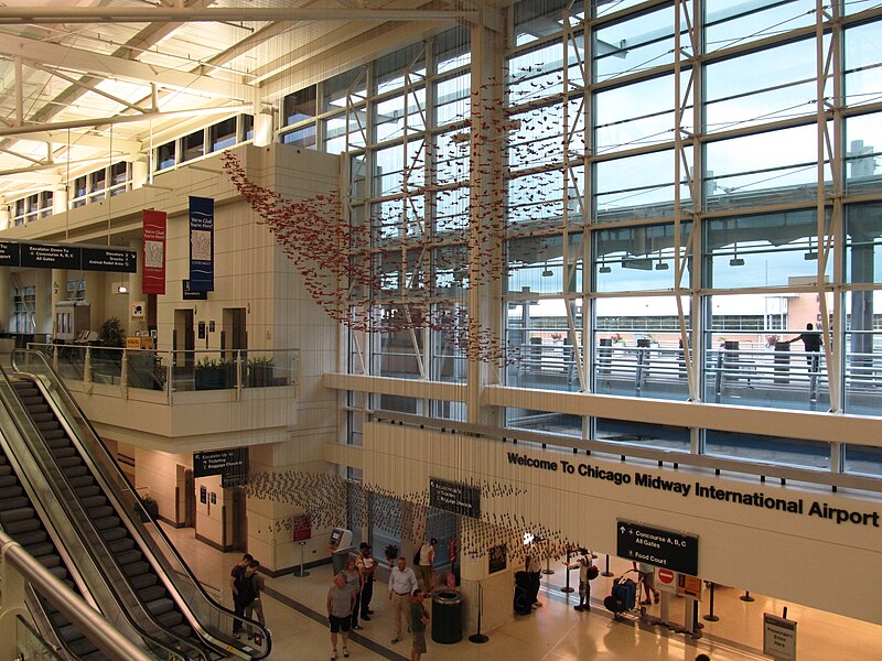
Chicago Midway International Airport is an airport in Chicago, Illinois, United States, located on the city's southwest side, eight miles (13 km) from Chicago's Loop. Dominated by low-cost carrier Southwest Airlines, Midway is the Dallas-based carrier's largest focus city as of 2011. Midway Airport is the second largest passenger airport in the Chicago metropolitan area, as well as the state of Illinois, after Chicago O'Hare International Airport. en.wikipedia.org/wiki/Chicago_Midway_Airport en.wikipedia.org/wiki/Wikipedia:Text_of_Creative_Commons_... |
| Date | |
| Source | Ticketing Area, Chicago Midway International Airport, Chicago, Illinois |
| Author | Ken Lund from Reno, Nevada, USA |
| Camera location | | View this and other nearby images on: OpenStreetMap |
|---|
.jpg¶ms=041.788424_N_-087.740657_E_globe:Earth_type:camera_source:Flickr_&language=en)
Licensing
This file is licensed under the Creative Commons Attribution-Share Alike 2.0 Generic license.
- You are free:
- to share – to copy, distribute and transmit the work
- to remix – to adapt the work
- Under the following conditions:
- attribution – You must give appropriate credit, provide a link to the license, and indicate if changes were made. You may do so in any reasonable manner, but not in any way that suggests the licensor endorses you or your use.
- share alike – If you remix, transform, or build upon the material, you must distribute your contributions under the same or compatible license as the original.
| This image was originally posted to Flickr by Ken Lund at https://flickr.com/photos/75683070@N00/9179710401. It was reviewed on 2 March 2017 by FlickreviewR and was confirmed to be licensed under the terms of the cc-by-sa-2.0. |
File history
Click on a date/time to view the file as it appeared at that time.
| Date/Time | Thumbnail | Dimensions | User | Comment | |
|---|---|---|---|---|---|
| current | 03:04, 2 March 2017 | | 4,000 × 3,000 (3.09 MB) | Victorgrigas | Transferred from Flickr via Flickr2Commons |
File usage
The following page uses this file:
.jpg)