
File:Samuel Beers House.jpg

Size of this preview: 800 × 600 pixels. Other resolutions: 320 × 240 pixels | 2,816 × 2,112 pixels.
Original file (2,816 × 2,112 pixels, file size: 3.24 MB, MIME type: image/jpeg)
| Camera location | | View this and other nearby images on: OpenStreetMap |
|---|
| Description |
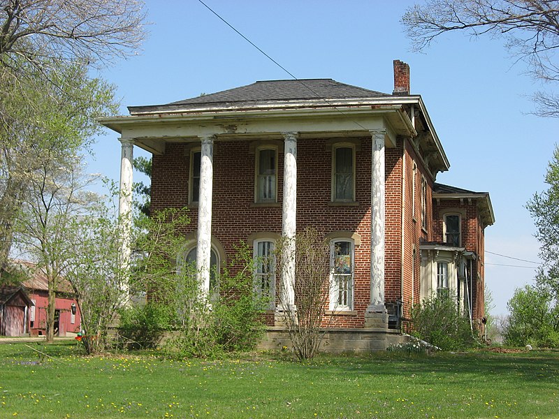
English: Front of the Samuel Beers House, located on the northern side of W. Sandusky Street (State Route 95) on the western edge of Fredericktown, Ohio, United States. Built in 1870, it is listed on the National Register of Historic Places.
|
||
| Date | Taken on 16 April 2010 | ||
| Source | Own work | ||
| Author | User:Nyttend | ||
| Permission (Reusing this file) |
|
File history
Click on a date/time to view the file as it appeared at that time.
| Date/Time | Thumbnail | Dimensions | User | Comment | |
|---|---|---|---|---|---|
| current | 13:30, 23 April 2010 | | 2,816 × 2,112 (3.24 MB) | Nyttend | {{Location|40|28|49.2|N|82|33|8|W}} {{Information |Description={{en|Front of the {{w|Samuel Beers House}}, located on the northern side of W. Sandusky Street ({{w|Ohio State Route 95|State Route 95}}) on the western edge of {{w|Fredericktown, Ohio|Frederi |
File usage
The following page uses this file: