
File:Newark Airport Wayfinding Signage.jpg

Size of this preview: 800 × 600 pixels. Other resolutions: 320 × 240 pixels | 2,656 × 1,992 pixels.
Original file (2,656 × 1,992 pixels, file size: 955 KB, MIME type: image/jpeg)
Summary
| Description |
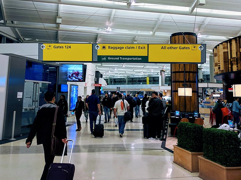
English: Terminal signage shown is part of the Port Authority of New York and New Jersey airport wayfinding system, which is based on the internationally used Schiphol Wayfinding System. |
| Date | |
| Source | Own work |
| Author | Scott Brody |
| Camera location | | View this and other nearby images on: OpenStreetMap |
|---|
Licensing
I, the copyright holder of this work, hereby publish it under the following license:
This file is licensed under the Creative Commons Attribution-Share Alike 4.0 International license.
- You are free:
- to share – to copy, distribute and transmit the work
- to remix – to adapt the work
- Under the following conditions:
- attribution – You must give appropriate credit, provide a link to the license, and indicate if changes were made. You may do so in any reasonable manner, but not in any way that suggests the licensor endorses you or your use.
- share alike – If you remix, transform, or build upon the material, you must distribute your contributions under the same or compatible license as the original.
File history
Click on a date/time to view the file as it appeared at that time.
| Date/Time | Thumbnail | Dimensions | User | Comment | |
|---|---|---|---|---|---|
| current | 18:20, 9 June 2019 | | 2,656 × 1,992 (955 KB) | SCBY | User created page with UploadWizard |
File usage
The following page uses this file: