
File:Nantes aerial skyline view.jpg

Size of this preview: 800 × 600 pixels. Other resolutions: 320 × 240 pixels | 3,251 × 2,438 pixels.
Original file (3,251 × 2,438 pixels, file size: 2.5 MB, MIME type: image/jpeg)
Summary
| Description |
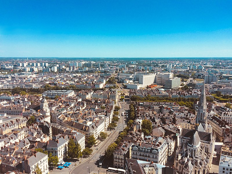
English: Cityscape Town Buildings Nantes City, France |
| Date | |
| Source | https://pixabay.com/photos/nantes-city-town-cityscape-2542973/ |
| Author | ahtcx |
| Camera location | | View this and other nearby images on: OpenStreetMap |
|---|
Licensing
This file is from Pixabay, where the creator has released it explicitly under the license Creative Commons Zero (see here).
File ID: 2542973 |
| This file is made available under the Creative Commons CC0 1.0 Universal Public Domain Dedication. | |
| The person who associated a work with this deed has dedicated the work to the public domain by waiving all of their rights to the work worldwide under copyright law, including all related and neighboring rights, to the extent allowed by law. You can copy, modify, distribute and perform the work, even for commercial purposes, all without asking permission.
|
File history
Click on a date/time to view the file as it appeared at that time.
| Date/Time | Thumbnail | Dimensions | User | Comment | |
|---|---|---|---|---|---|
| current | 06:42, 24 March 2019 | | 3,251 × 2,438 (2.5 MB) | Leoboudv | https://pixabay.com/photos/nantes-city-town-cityscape-2542973/ |
File usage
The following page uses this file: