
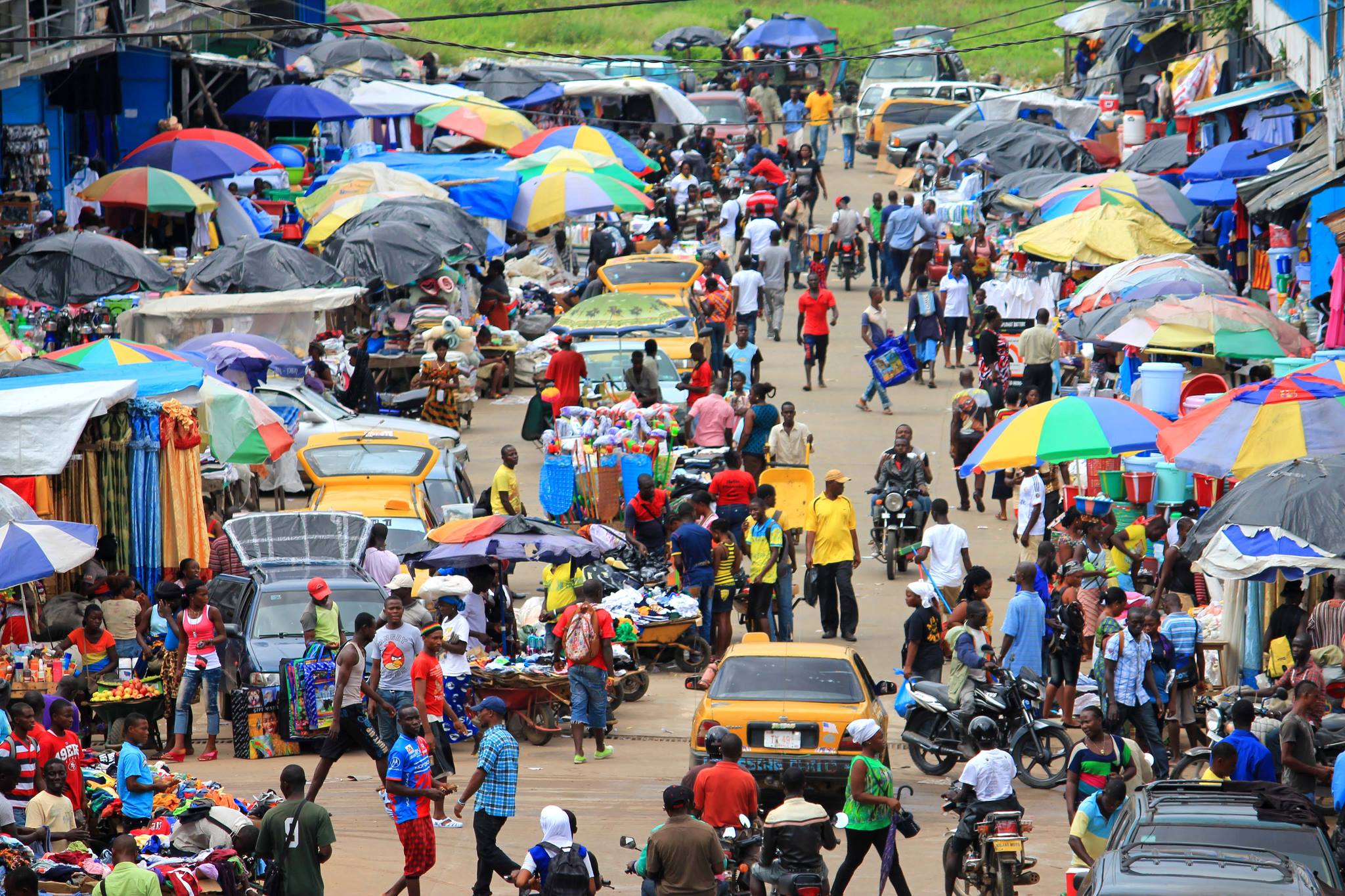
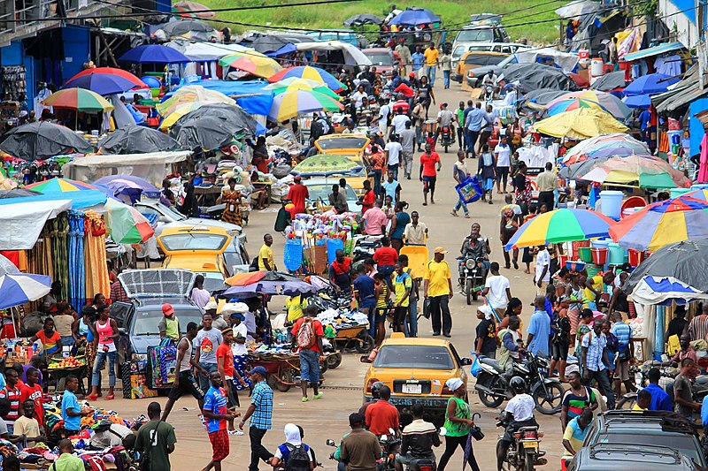
File:Monrovia, Liberia - panoramio (86).jpg
Size of this preview: 800 × 533 pixels. Other resolutions: 320 × 213 pixels | 2,048 × 1,365 pixels.
Original file (2,048 × 1,365 pixels, file size: 512 KB, MIME type: image/jpeg)
Summary
| Description | Monrovia, Liberia | ||
| Date | 4 February 2014 (original upload date) | ||
| Source | https://web.archive.org/web/20161027200427/http://www.panoramio.com/photo/102729469 | ||
| Author | blk24ga | ||
| Permission (Reusing this file) |
This file is licensed under the Creative Commons Attribution 3.0 Unported license. Attribution: blk24ga
|
||
| Tags (from Panoramio photo page) | Monrovia, 2014, Africa, african, airline, beach, best, Bridge, cars beach, Chimps, church, Church in Lofa Liberia, delta, delta airlines, Fendel, Fish, food, freeport monrovia, Grand Bassa, Grand Bassa County Liberia, Greater Monrovia, Harbel, Harper, hospital, Hospital, Hotel, house, Housing, Liberia, Liberia Monrovia Africa Capital Hill, Liberia Monrovia Congotown Africa, Liberian Coast, Liberian Police, lights, low income, Margibi, Marshall Island, Ministry of Health, Missions, monrovia, Montserrado, National Geographics, night, Paynesville, Roberts-Field Airport Liberia, Robertsport, Royal Hotel @ Monrovia, school, Sinkor, street, Total Gas company In Liberia, tour, Travel, united nations, United States, west africa |
| Camera location | | View this and other nearby images on: OpenStreetMap |
|---|
.jpg¶ms=006.319393_N_-010.804195_E_globe:Earth_type:camera_source:Panoramio_&language=en)
File history
Click on a date/time to view the file as it appeared at that time.
| Date/Time | Thumbnail | Dimensions | User | Comment | |
|---|---|---|---|---|---|
| current | 12:52, 16 March 2017 | | 2,048 × 1,365 (512 KB) | Panoramio upload bot | == {{int:filedesc}} == {{Information |description=Monrovia, Liberia |date={{Original upload date|2014-02-04}} |source=http://www.panoramio.com/photo/102729469 |author=[http://www.panoramio.com/user/6465408?with_photo_id=102729469 blk24ga] |permission={... |
File usage
The following page uses this file:
.jpg)