
File:2555Imus City Barangays Landmarks 15.jpg

Size of this preview: 800 × 600 pixels. Other resolutions: 320 × 240 pixels | 4,608 × 3,456 pixels.
Original file (4,608 × 3,456 pixels, file size: 6.83 MB, MIME type: image/jpeg)
Summary
| Description |
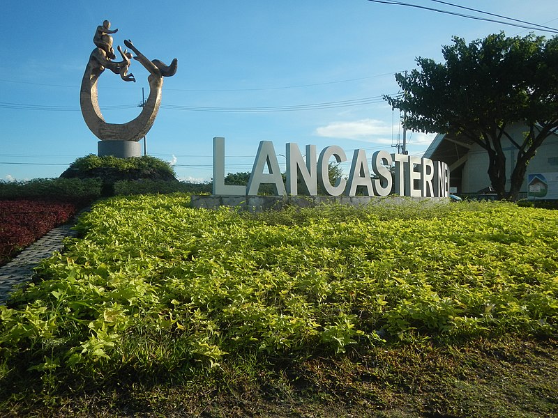
English: Construction-widening of Malagasang-Bucandala-Alapan Road, Imus City Lancaster New City (gated community) Lancaster New City - Imus, Cavite The Avenue - SM Savemore Market (Alapan, Lancaster New City Cavite) Bayang Luma-Patindig Araw Road, Imus City Roman Catholic Diocese of Imus Holy Family Parish Church (Alapan, Lancaster New City Cavite) Lancaster New City (gated community) Barangays Bucandala I, Bucandala II, Bucandala III, Bucandala IV & Bucandala V, Imus City 14°24'0"N 120°55'44"E Alapan I-A, Alapan I-B, Alapan I–C, Alapan II-A & Alapan II-B, Imus City 14°24'29"N 120°54'15"E Lancaster New City 14°24'29"N 120°54'12"E Imus City from Aguinaldo Highway, Philippine highway network (Note: Judge Florentino Floro, the owner, to repeat, Donor Florentino Floro of all these photos hereby donate gratuitously, freely and unconditionally Judge Floro all these photos to and for Wikimedia Commons, exclusively, for public use of the public domain, and again without any condition whatsoever). |
| Date | |
| Source | Own work |
| Author | Judgefloro |
| Camera location | | View this and other nearby images on: OpenStreetMap |
|---|
Lancaster New City 14°24'29"N 120°54'12"E
Licensing
I, the copyright holder of this work, hereby publish it under the following license:
| This file is made available under the Creative Commons CC0 1.0 Universal Public Domain Dedication. | |
| The person who associated a work with this deed has dedicated the work to the public domain by waiving all of their rights to the work worldwide under copyright law, including all related and neighboring rights, to the extent allowed by law. You can copy, modify, distribute and perform the work, even for commercial purposes, all without asking permission.
|
File history
Click on a date/time to view the file as it appeared at that time.
| Date/Time | Thumbnail | Dimensions | User | Comment | |
|---|---|---|---|---|---|
| current | 10:18, 19 October 2018 | | 4,608 × 3,456 (6.83 MB) | Judgefloro | User created page with UploadWizard |
File usage
The following page uses this file: