
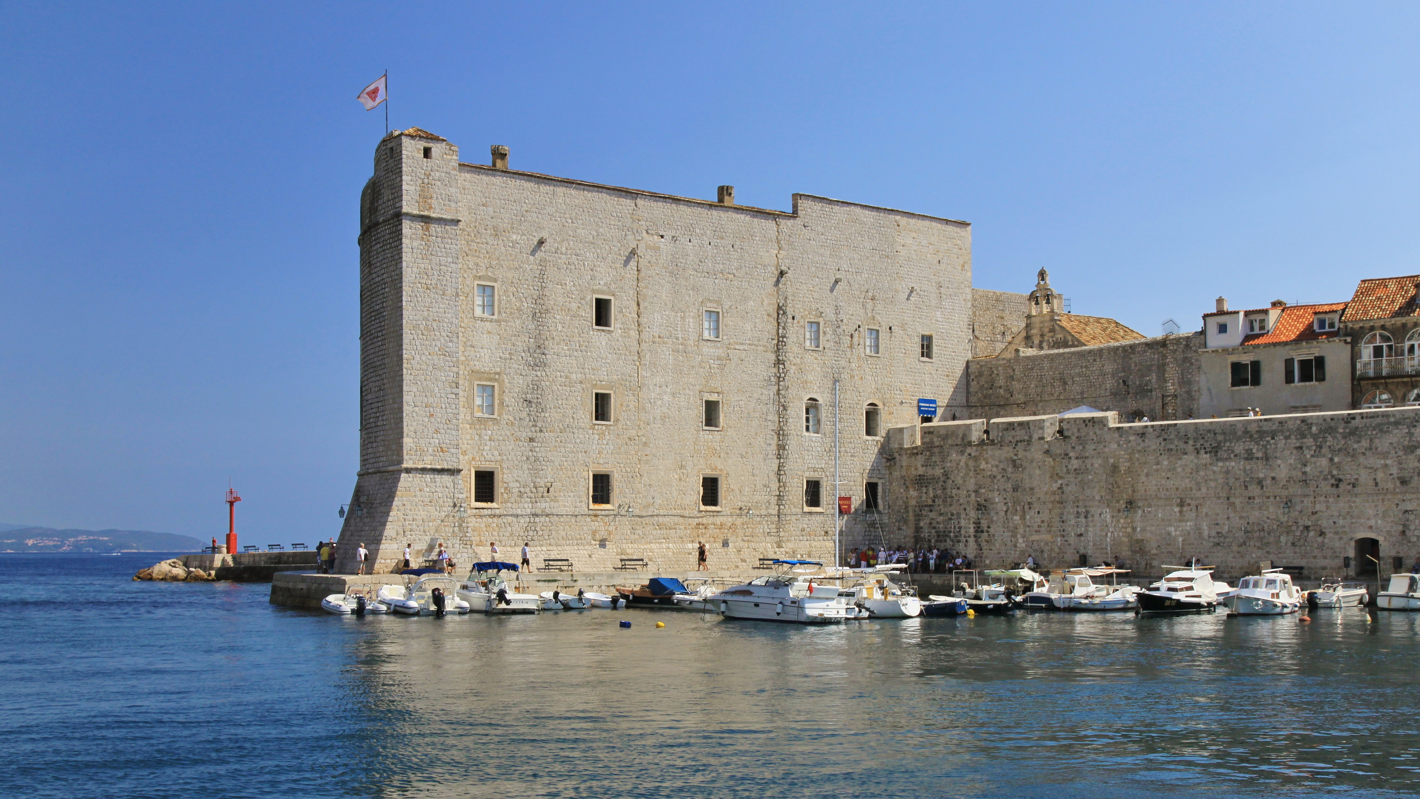
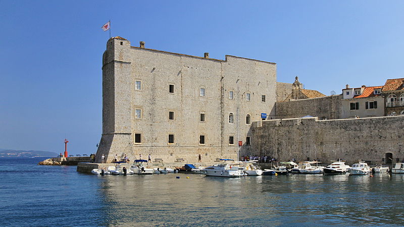
File:2011 Dubrownik, Fort św. Jana.jpg
Size of this preview: 800 × 450 pixels. Other resolutions: 320 × 180 pixels | 4,708 × 2,648 pixels.
Original file (4,708 × 2,648 pixels, file size: 11.26 MB, MIME type: image/jpeg)
Summary
| Description | |
| Date | |
| Source | Own work |
| Author | Marcin Konsek |
| Attribution (required by the license) | Photo: Marcin Konsek / Wikimedia Commons / |
| Camera location | | View this and other nearby images on: OpenStreetMap |
|---|
Licensing
I, the copyright holder of this work, hereby publish it under the following license:
This file is licensed under the Creative Commons Attribution-Share Alike 4.0 International license.
- You are free:
- to share – to copy, distribute and transmit the work
- to remix – to adapt the work
- Under the following conditions:
- attribution – You must give appropriate credit, provide a link to the license, and indicate if changes were made. You may do so in any reasonable manner, but not in any way that suggests the licensor endorses you or your use.
- share alike – If you remix, transform, or build upon the material, you must distribute your contributions under the same or compatible license as the original.

|
This image has been assessed under the valued image criteria and is considered the most valued image on Commons within the scope: Saint John Fortress in Dubrovnik, Croatia. View from the Old Harbour.. You can see its nomination here. |
This image has been assessed using the Quality image guidelines and is considered a Quality image.
|
File history
Click on a date/time to view the file as it appeared at that time.
| Date/Time | Thumbnail | Dimensions | User | Comment | |
|---|---|---|---|---|---|
| current | 20:20, 28 November 2014 | | 4,708 × 2,648 (11.26 MB) | Halavar | crop to format 16:9 |
File usage
The following page uses this file: