
File:Вид с мыса Уюга.jpg

Size of this preview: 800 × 450 pixels. Other resolutions: 320 × 180 pixels | 4,000 × 2,248 pixels.
Original file (4,000 × 2,248 pixels, file size: 7.93 MB, MIME type: image/jpeg)
Summary
| Description |
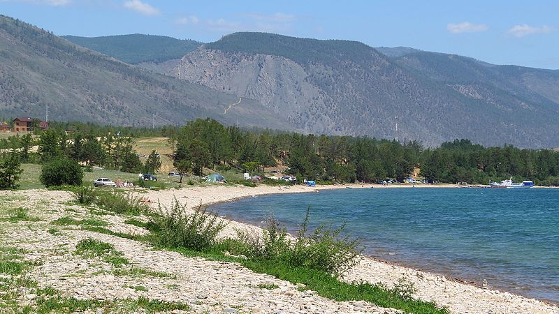
Русский: Прибайкальский: Территория парка в виде узкой полосы охватывает большую часть (около 470 км) западного побережья озера Байкал - от п. Култук на юге до мыса Кочериковского на севере. Он занимает восточные склоны Приморского хребта, южную часть Олхинского плато, бассейн р. Большая Речка (впадает в р. Ангару), а также о. Ольхон. Южная часть парка рассечена вытекающей из Байкала Ангарой,Иркутский район, Иркутская область
|
|||
| Date | Taken on 16 July 2016, 09:12:06 | |||
| Source | Own work | |||
| Author | Mankuta |
Licensing
I, the copyright holder of this work, hereby publish it under the following license:
This file is licensed under the Creative Commons Attribution-Share Alike 4.0 International license.
- You are free:
- to share – to copy, distribute and transmit the work
- to remix – to adapt the work
- Under the following conditions:
- attribution – You must give appropriate credit, provide a link to the license, and indicate if changes were made. You may do so in any reasonable manner, but not in any way that suggests the licensor endorses you or your use.
- share alike – If you remix, transform, or build upon the material, you must distribute your contributions under the same or compatible license as the original.
File history
Click on a date/time to view the file as it appeared at that time.
| Date/Time | Thumbnail | Dimensions | User | Comment | |
|---|---|---|---|---|---|
| current | 11:49, 21 October 2016 | | 4,000 × 2,248 (7.93 MB) | Mankuta | User created page with UploadWizard |
File usage
The following page uses this file: